服务咨询热线
热门关键词: 精彩案例一 精彩案例二 精彩案例三 精彩案例四 精彩案例五
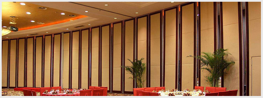
案例展示
高品质室内设计、装修施工
丰城中天装饰有限公司经营范围:室內外装修设计及施工、陈列设计、室内软装设计;门窗工程安装;土木工程;建筑工程施工;销售:家居用品、五金交电、卫生洁具、装饰材料、建筑材料;批发业、零售业,实行“免费咨询报价,私人个性化定制设计,先装修、后付款,用料优先选择国际优秀辅料”的一体化装饰模式和坚持保障顾客从合作开始便享受七星级装饰服务为服务模式,受到了广大消费者的欢迎。